3DGeoMapping
3DGeoMapping applies innovative techniques to acquire data for various applications and accordingly has modern and innovative equipment and software.
Innovative
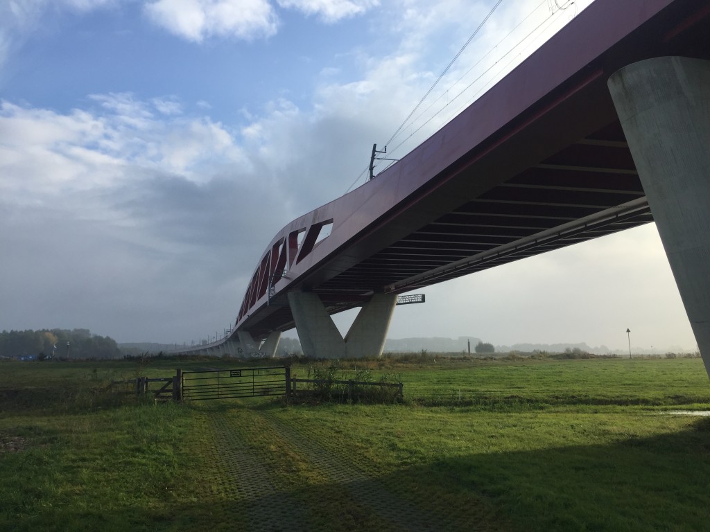
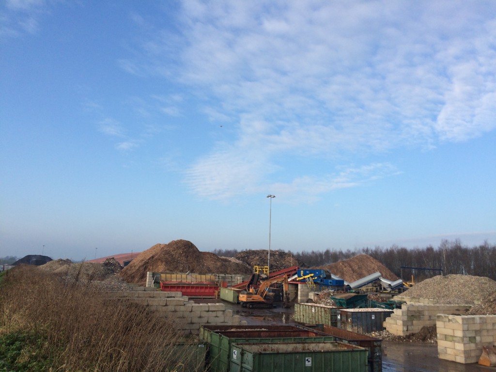
Our customers want to have better insight and control over their assets, property management, construction monitoring and management of water and road infrastructure and the management of material flows in large (waste) depots.
Therefore, they always ask more current total images of their projects or property, so they can make better plans for maintenance management.
Customer can plan and design their projects even better if they have 3D information. The images are created by collecting and combining survey data, images and videos.
3DGeoMapping applies innovative techniques to acquire data for various applications and accordingly has modern and innovative equipment and software, including:
• GeoBoot
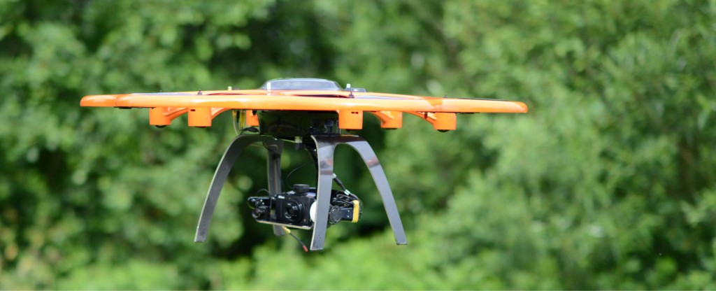
• Drones
3DGeoMapping has the possibilities to provide a 3D model with both ‘above ground and below water info’ . So customers get a total 3D-model of a particular situation.


Creative
3DGeoMapping works customizable and provides a total product. Together with the customer 3DGeoMapping determines what data is required and must be obtained in order to meet the customers wishes.
3DGeoMapping is collecting information with a combination of data in 2D or 3D, photo and film and thus provide a unique and comprehensive overview of the current situation.
Where necessary, we develop special applications to obtain the desired data.
The Geoboot is an example of a craft developed in-house.
Productive
3DGeoMapping has the necessary authorization for obtaining data using drones and certified pilots.
Thereby 3DGeoMapping can quickly and effectively, in compliance with legislation, responding to customer inquiries.
Additionally 3DGeoMapping processes all data in-house. With data verification procedures we deliver geometric data within the specified requirements and standards.
3DGeoMapping lends itself to the repeated measuring of a situation then quickly and effectively calculations of quantities can be made.


