
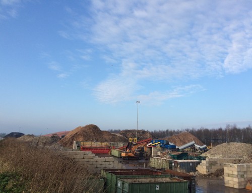
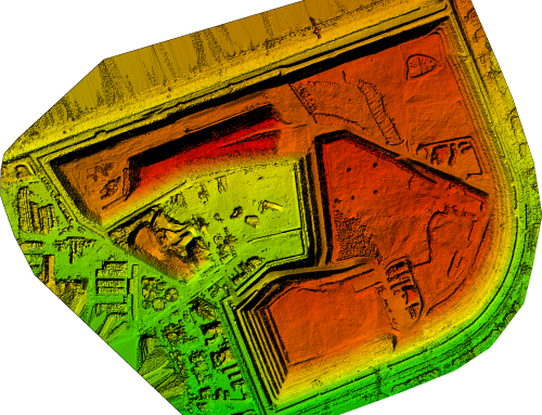
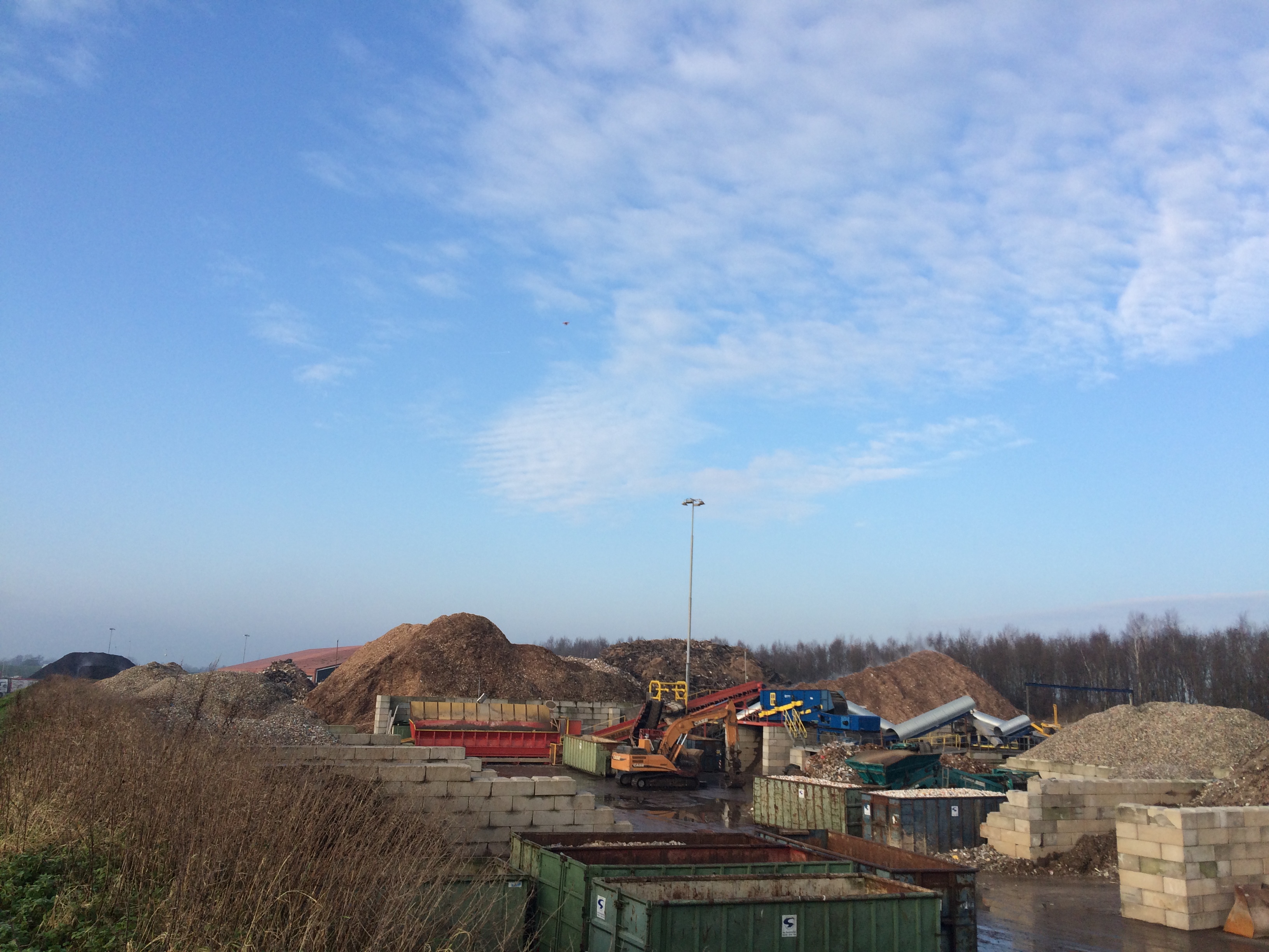
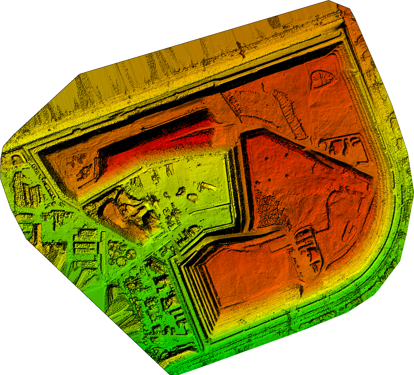
Project Description
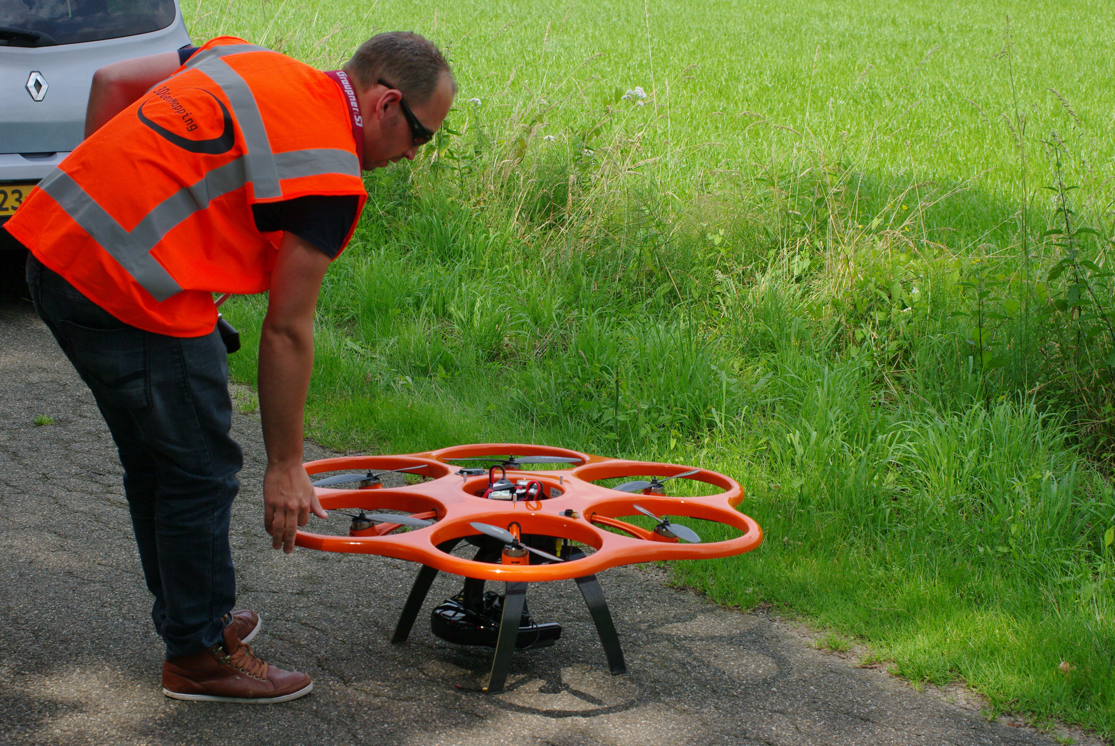
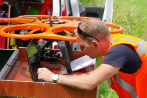
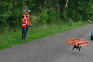
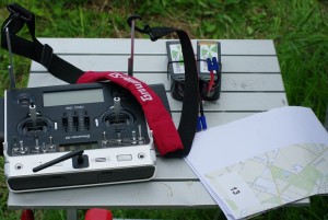
documenting locations N18 with GeoDrone
The contractors consortium Noaber N18 has given an assignment to 3DGeoMapping to measure 14 locations in the new route of the N18 between Varsseveld and Enschede and deliver a 3D model of the locations. In addition 3DGeoMapping has got the assignment to frequently record the progress of the work using drones for collecting the data and pictures.


